In high school, I learned the old methods for navigation using a basic compass, lensatic compass, sextant, parallel ruler, protractor, mechanical compass and triangles.
Since we cannot rely on GPS in a SHTF situation, I think maybe learning some of the most basic skills of land and sea navigation is in order.
Unfortunately I learned all this stiff like 45 years ago and forgot most all of it. I’m certain we have a coupl’a few pilots and sailors here that can help out.
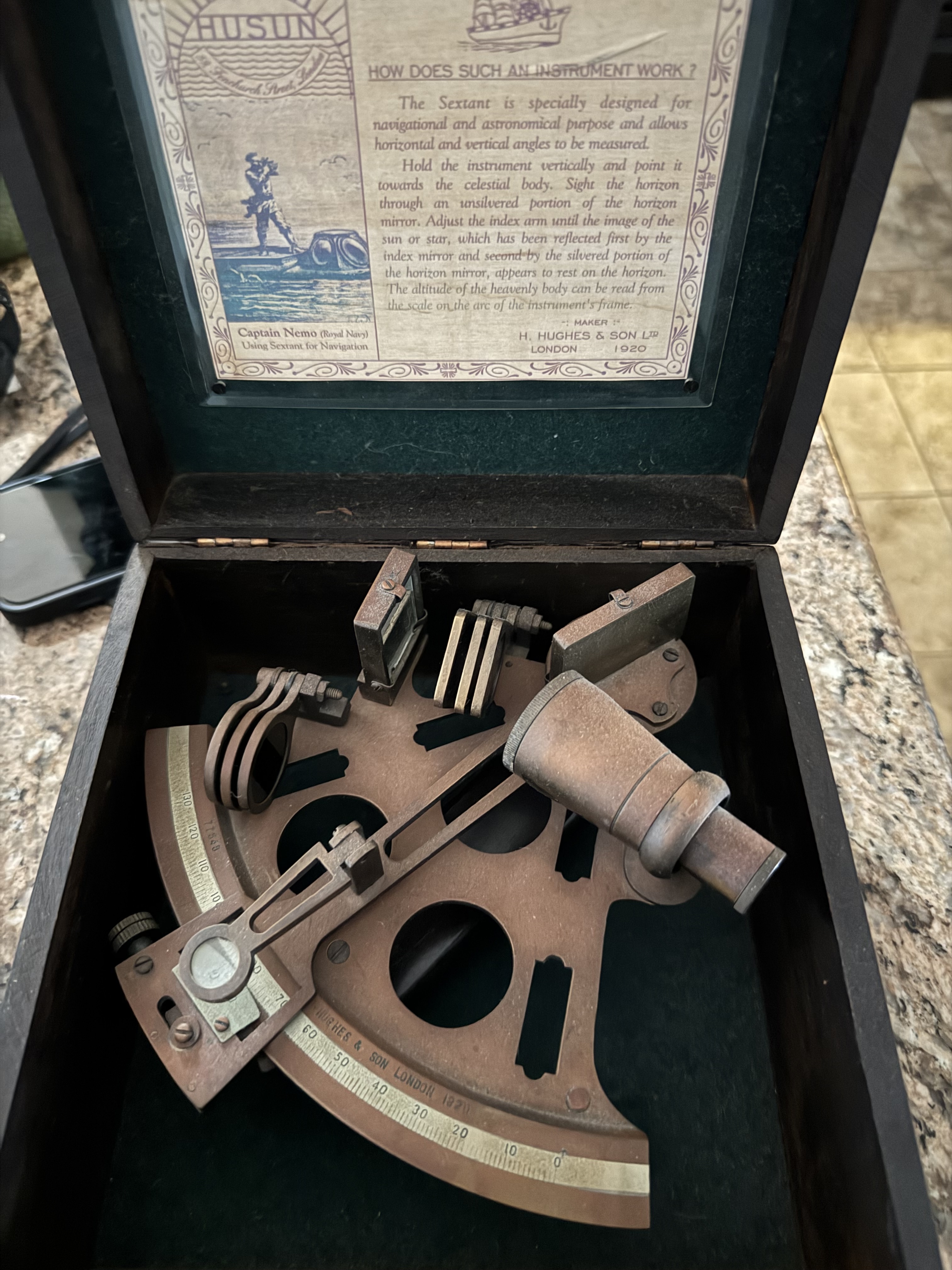
I am extremely familiar with old school navigation. Terrestrial, and celestial. I even own a sextant, and a copy of Bowdich. I need new sight reduction tables though.
While my primary job in the Navy was electronic surveillance, I also qualified as the ‘Quartermaster of the Watch’, who was responsible for the submarine’s navigation, both surfaced and submerged.
That became a collateral duty for me, when we weren’t at periscope depth.
I have always been fascinated by navigation at sea, and I enjoyed that part of my duty very much.
Good with terrestrial navigation with a map and compass but would be totally lost at sea. Always wanted to learn celestial navigation but I’d likely never use it enough to actually remember it.
But for 99% of people, learning to read a road map is a huge boost. I keep a Rand McNally road atlas in all my cars in case I’m somewhere without cell service.
Most people these days get lost while they’re already ON a road when the GPS doesn’t work. So for those people, learning to read a road map is a big boost.
Funny I see this on my weekend from work. Had a discussion with an old timer regarding DC-8’s and their backup navigation equipment of sextants and a periscope they used to take star shots. When I did Civil Air Patrol they were very big on using Lat/Long along with their own grid system (apparently different from the military one) besides the usual Chart and electronic navigation stuff, so that was a good learning experience. Lately I’ve been trying to branch off on the land side of things, there’s a place I took Wilderness First Aid from that also does land navigation courses and I’m waiting for them to post dates so I can go. Still have most of my old Hagstrom Road Atlases if anyone remembers those.
I’d love to learn how to navigate with a sextant - always been fascinated by the era of exploration by sailing ships. Most likely ain’t gonna happen though - why is it as you get older the amount of time you have to spend on hobbies just continues to shrink?
The foundation of navigation are maps, and what better place to get maps than the USGS. The link will bring u to the USGS website for topographical maps you can download in PDF format.
Part of my SHTF plan is a tablet with all kinds of useful info like herbal medicines, edible plant identification, first aid, some basic chemistry, survival skills and all the usual prepper stuff.
I’ll be downloading a bunch of maps off the USGS site.